By Adeniji Adeshewa, Chidinma Kalu and Oluwatosin Olorunleke
More than six decades after independence, Africa still operates within a political map shaped by European colonial expansion. Ghana gained independence in 1957, and most of the continent followed during the 1960s. The inherited borders reflected European rivalries and ambitions rather than the choices of the people living within them.
The question is why these borders remain, why African leaders chose to preserve them, and how governments can make them work for the people living within them.
How Europe Turned African Territory into a Colonial Question
European interest in Africa grew with industrialisation and the search for raw materials, markets and strategic influence. Competition intensified in the late nineteenth century. Rival claims in the Congo Basin, involving France, Portugal and King Leopold II’s International Association of the Congo, contributed to tensions that led to the Berlin Conference. An Anglo-Portuguese agreement proposed in February 1884 heightened concerns among other European powers.
Convened by German Chancellor Otto von Bismarck, the conference ran from 15 November 1884 to 26 February 1885. Fourteen states participated, but African representatives had no meaningful role. The conference addressed trade and navigation in the Congo and Niger basins and established rules for European territorial claims. Its General Act promoted the notification of claims and the principle of effective occupation.
The conference did not draw every African border. Partition continued through subsequent treaties, diplomacy and conquest. Nor were all borders arbitrary, as some followed rivers or earlier political boundaries. However, colonial decisions divided communities and brought diverse peoples under single administrations, with Africans having little say in the process.
The Decision to Keep the Map
In July 1964, the Organisation of African Unity (OAU), meeting in Cairo, adopted Resolution AHG/Res.16(I), committing member states to respect the borders that existed when they achieved independence. The decision reflected fears that redrawing boundaries could trigger territorial disputes and weaken fragile states.
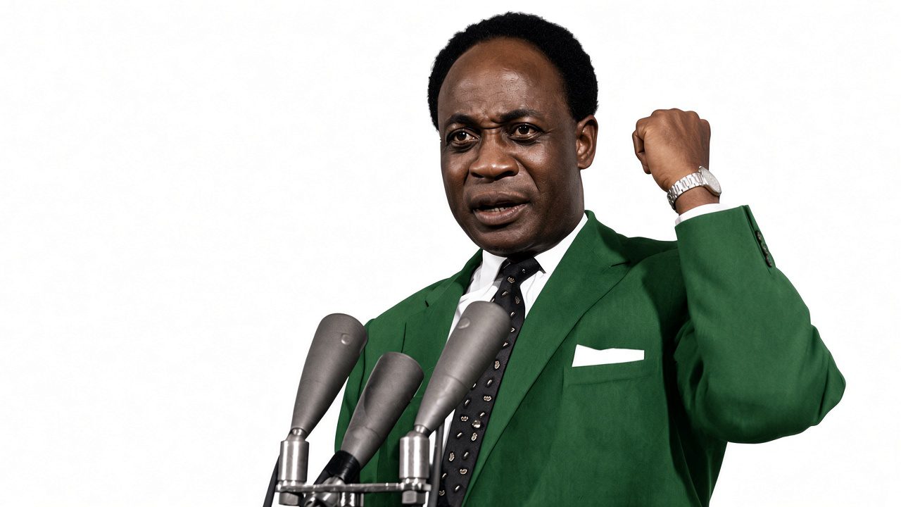
It was not the only vision for Africa’s future. At the OAU’s founding in 1963, Ghana’s President, Kwame Nkrumah, advocated a continental political union, including common institutions for defence, foreign affairs and economic coordination. The OAU that emerged, however, prioritised cooperation between independent states rather than the political union Nkrumah had proposed.
Preserving inherited borders protected the territorial status quo, but did not resolve every problem. Eritrea’s independence in 1993 and South Sudan’s in 2011 followed exceptional political processes involving prolonged conflict and, in South Sudan’s case, a referendum. These developments do not represent a general abandonment of the OAU principle.
The 1964 decision was a choice for stability, not an endorsement of perfect borders. It left governments responsible for building inclusive institutions and ensuring that all communities had access to citizenship rights and public services.
The Consequences of an Inherited Map
The effects of colonial boundaries can be seen in politics, identity, trade and security. The Bakassi Peninsula dispute between Nigeria and Cameroon demonstrates how colonial-era agreements continued to shape territorial questions after independence. In 2002, the International Court of Justice ruled that sovereignty over the peninsula belonged to Cameroon, relying on historical agreements. The 2006 Greentree Agreement subsequently provided a framework for implementing the judgment. However, questions remained for residents concerning citizenship, livelihoods and access to public services.
Across West Africa, Ewe communities live on both sides of the Ghana-Togo border. Somali communities are spread across Somalia, Ethiopia, Kenya and Djibouti. These connections demonstrate that cultural identities do not always fit within national boundaries. However, shared identity does not automatically undermine national belonging. Governments must protect the rights and representation of people whose communities extend across borders.
Colonial transport systems often moved resources from inland areas to coastal ports rather than connecting neighbouring economies. Today, different customs procedures and border practices can make cross-border trade slow and costly. The African Continental Free Trade Area (AfCFTA), which began trading in January 2021, aims to reduce these barriers and expand trade across the continent. Its success will depend not only on agreements but also on how effectively governments implement them.
Security presents another challenge. Armed groups across the Sahel, particularly in Mali, Burkina Faso and Niger, exploit weak state presence, local grievances and difficult-to-police territory. Borders can complicate cooperation between security forces, but they are not the sole cause of insecurity. Poor governance, poverty, political instability and competition over resources also contribute to the problem. Effective responses require intelligence-sharing and regional cooperation, alongside efforts to address the conditions that allow armed groups to gain influence.
Who Is the Map Serving?
Europe bears responsibility for shaping Africa’s colonial borders, but colonial history cannot explain every problem that persists today. African leaders chose to preserve the inherited map, while successive governments have determined how their territories are governed, how resources are distributed and whether border communities receive adequate security, infrastructure and public services.
The debate must now move beyond history. Africa does not necessarily need to redraw its borders, as doing so could create new disputes. However, preserving them must not mean tolerating exclusion, obstructed trade or neglected border communities. Continental integration requires practical cooperation and respect for people’s rights.
The question is therefore not simply who drew Africa’s borders, but what African governments have done with the political arrangement they inherited. The map may remain, but the way it is governed can and must change. Africa’s future will depend less on the lines themselves than on whether they become bridges for cooperation rather than barriers to opportunity.

Adeniji Adeshewa is a writer with interests in journalism, analytical storytelling, research and fact-checking. She is passionate about examining issues from different perspectives, uncovering meaningful insights and telling stories that inform audiences and deepen public understanding.

Chidinma Kalu is a journalist, writer and digital media professional passionate about storytelling that goes beyond the obvious. Her interests include human behaviour, the systems that shape society and the questions that encourage audiences to look beyond the facts.

Oluwatosin Olorunleke is a Mass Communication graduate with interests in journalism, public affairs and strategic communication. She is passionate about analytical storytelling that goes beyond headlines to examine the human experiences and wider social realities behind the news.